Technical maps in ArcGIS
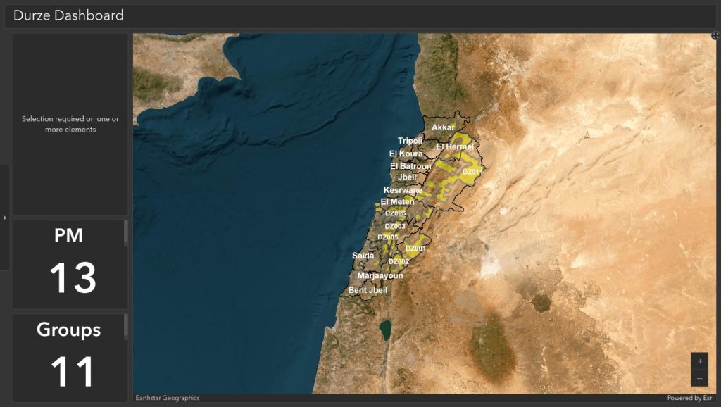
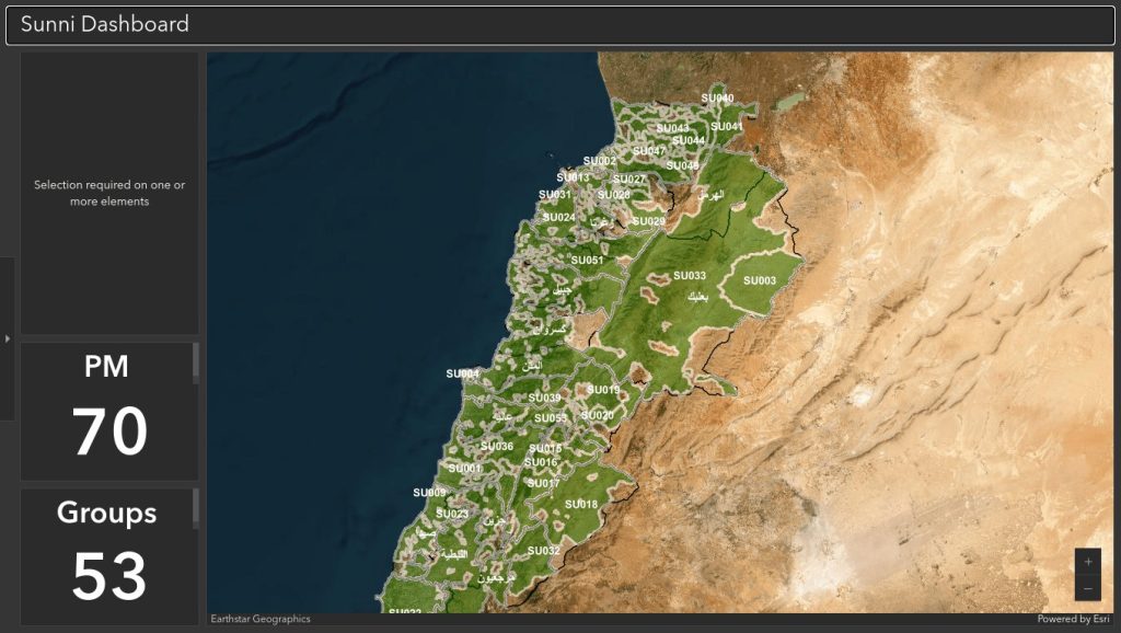
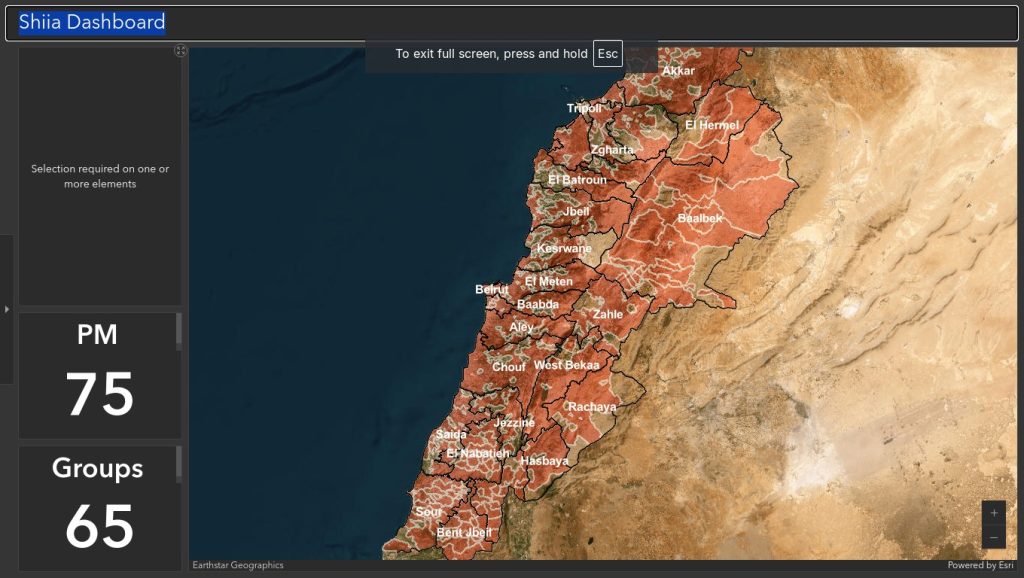
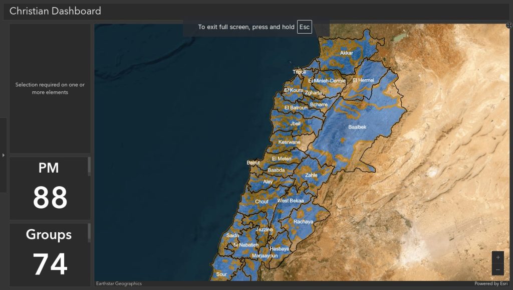
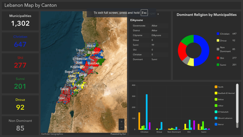
Interactive ArcGIS maps and dashboards showing where each community lives, with layers you can switch on and off.
Designed for a computer screen, they allow the canton maps to be explored municipality by municipality.
Interactive ArcGIS maps and dashboards showing where each community lives, with layers you can switch on and off.
Designed for a computer screen, they allow the canton maps to be explored municipality by municipality.